Peñalara
The roof of Madrid
Distance
14 km
Duration
6h 30
Max altitude
2.428 m
Type
Circular
Level
Hard
The route
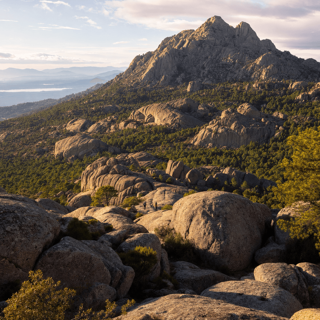
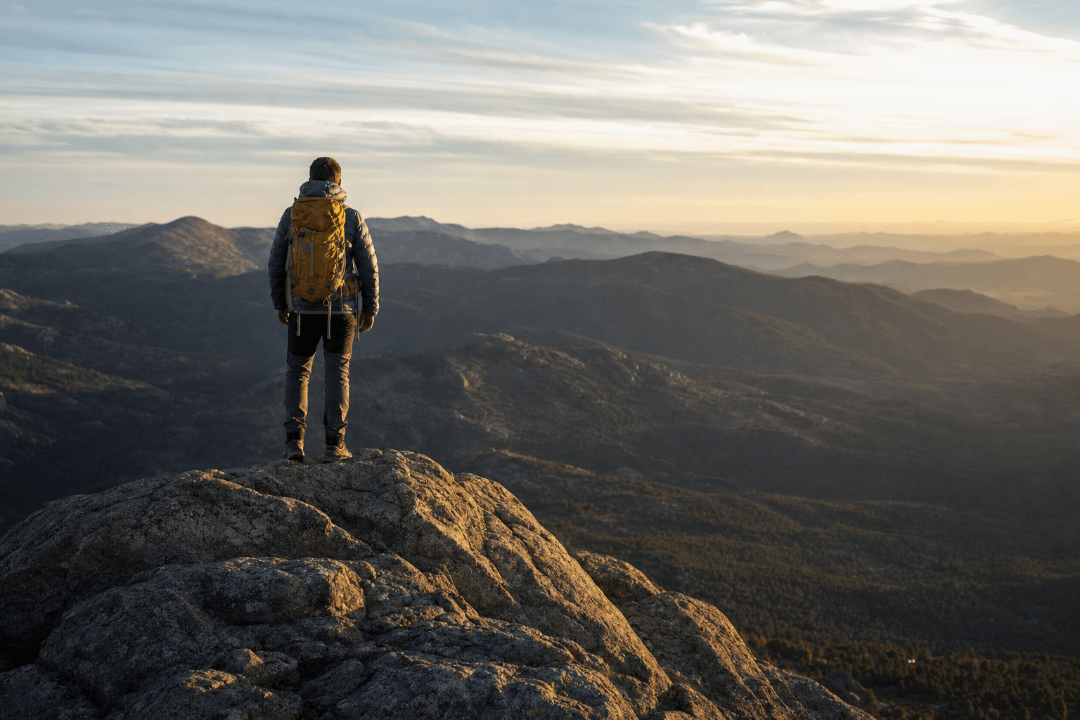
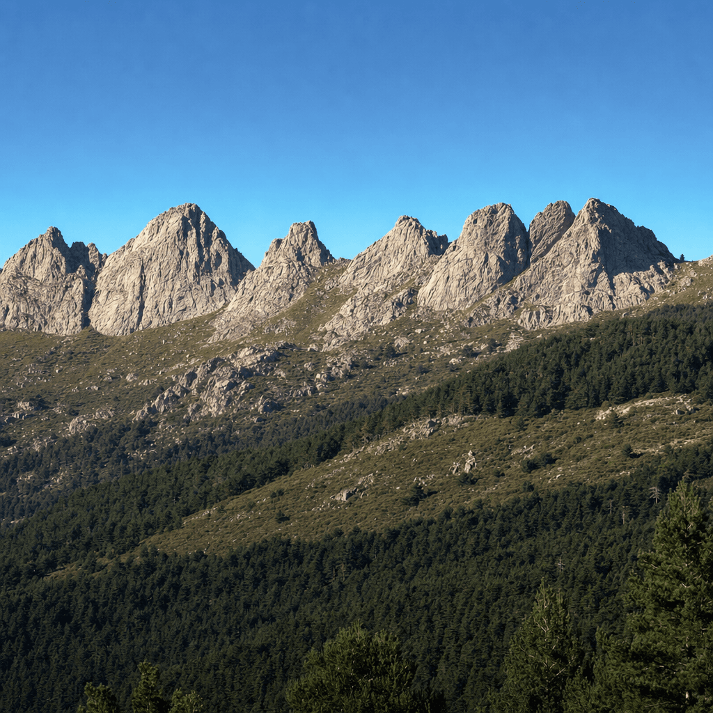
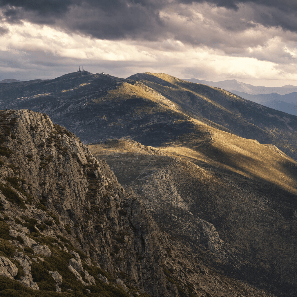
Peñalara is the highest summit in the Sierra de Guadarrama and in the whole Madrid region: a 2,428 metre roof with views that, on clear days, reach halfway across the Sistema Central.
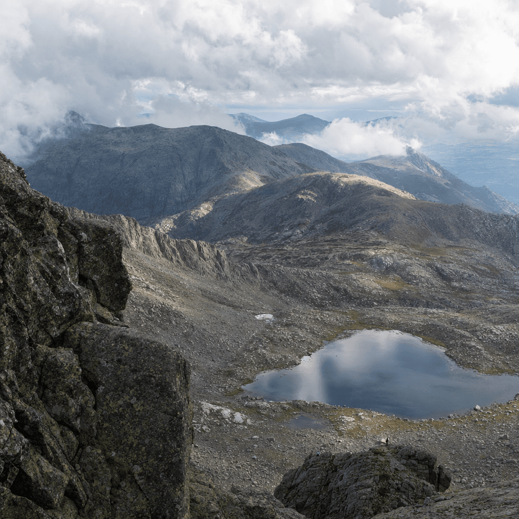
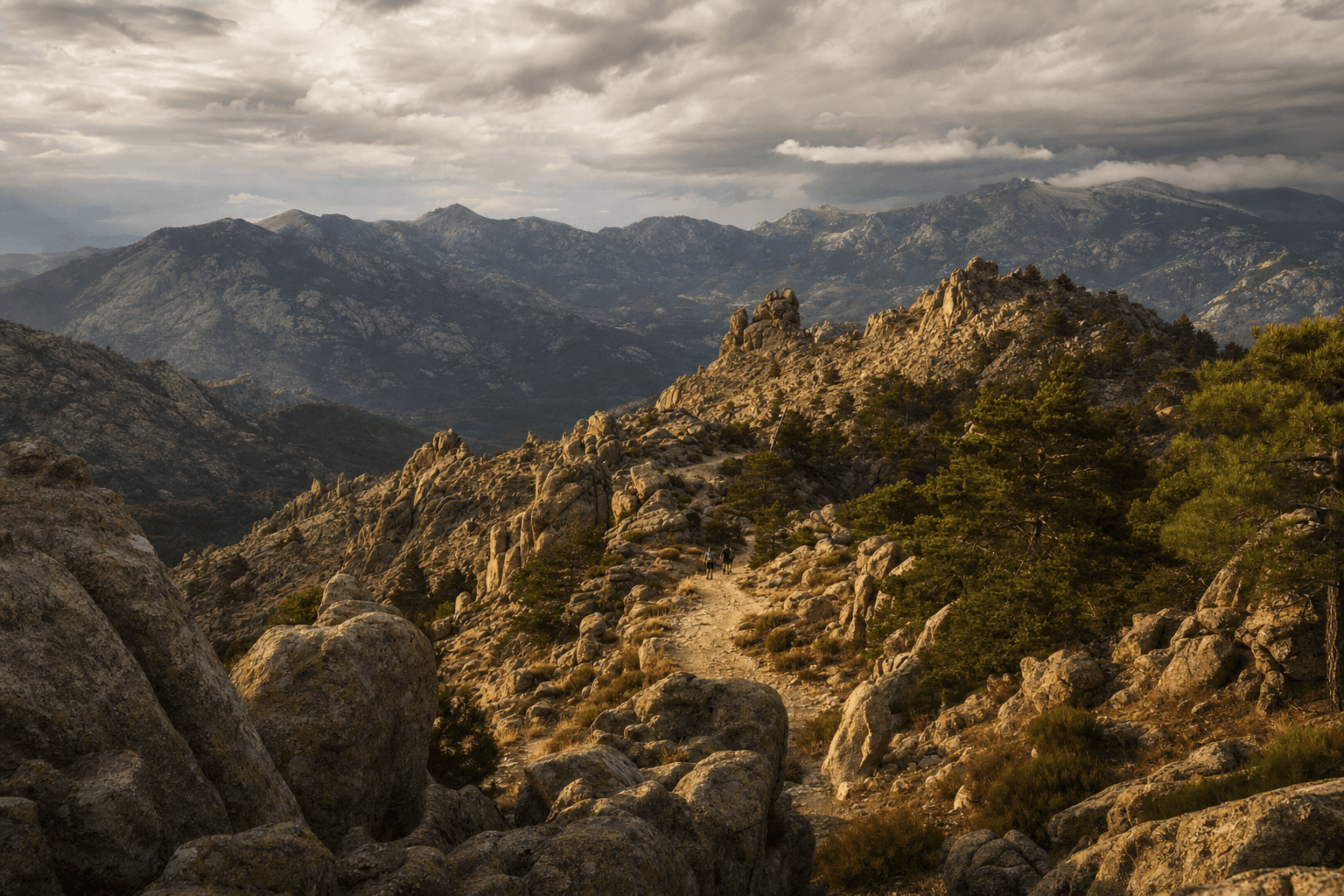
The circular route climbs from Puerto de Cotos past Peñalara's glacial lakes, the crown jewels of the national park, before topping out. Alpine terrain and a long day out: a demanding hike for walkers with mountain experience.
Route profile
Indicative profile · Max altitude: 2.428 m
Highlights
- The highest summit in Madrid (2,428 m)
- Peñalara's glacial lakes
- Glacial cirque and moraines
- Sweeping views along the Cuerda Larga ridge
The trail
Km 0
Puerto de Cotos
Meeting point and trailhead, next to the visitor centre.
Km 4
Laguna Grande de Peñalara
The best known glacial lake in the park.
Km 7
Peñalara summit
The roof of Madrid and the highest point of the hike.
Km 10
Risco de los Claveles
Descent along the ridge with views over the glacial cirque.
Km 14
Back to Cotos
Closing the loop.
What to bring
- Mountain boots with good grip
- 20-30 L backpack
- Water: 1.5 L minimum
- Layered clothing + windbreaker
- Cap, sunglasses and sun protection
- Food and energy snacks
- Trekking poles (recommended)
- A love for the mountains
Safety & the mountain
Certified guide
Certified mountain guide with first-aid training. Small groups of up to 12 people.
If the weather turns
The mountain rules. If the forecast isn't safe, we reschedule to another date or give you a full refund. Your safety comes first.
Meeting point
Puerto de Cotos
From Madrid via the M-604. Reachable by Cercanías commuter train (line C-9) to Cotos.
Protected national park zone with regulated access. High mountain route.